
| PA State Facts |
|---|

|
| Colony: 1707–1776 |
| Statehood: Dec 12, 1787 |
| Counties: 67 |
| Borders: NY, NJ, DE, MD, OH and WV |

| PA Resources |
|---|
| PA Land Ownership Maps |
| PA Maps & Atlases |
| PA Birth, Marriage & Deaths |
| PA Military Databases |
| PA Record Collections |
| PA Historical Newspapers |
| Create a Free Family Tree |
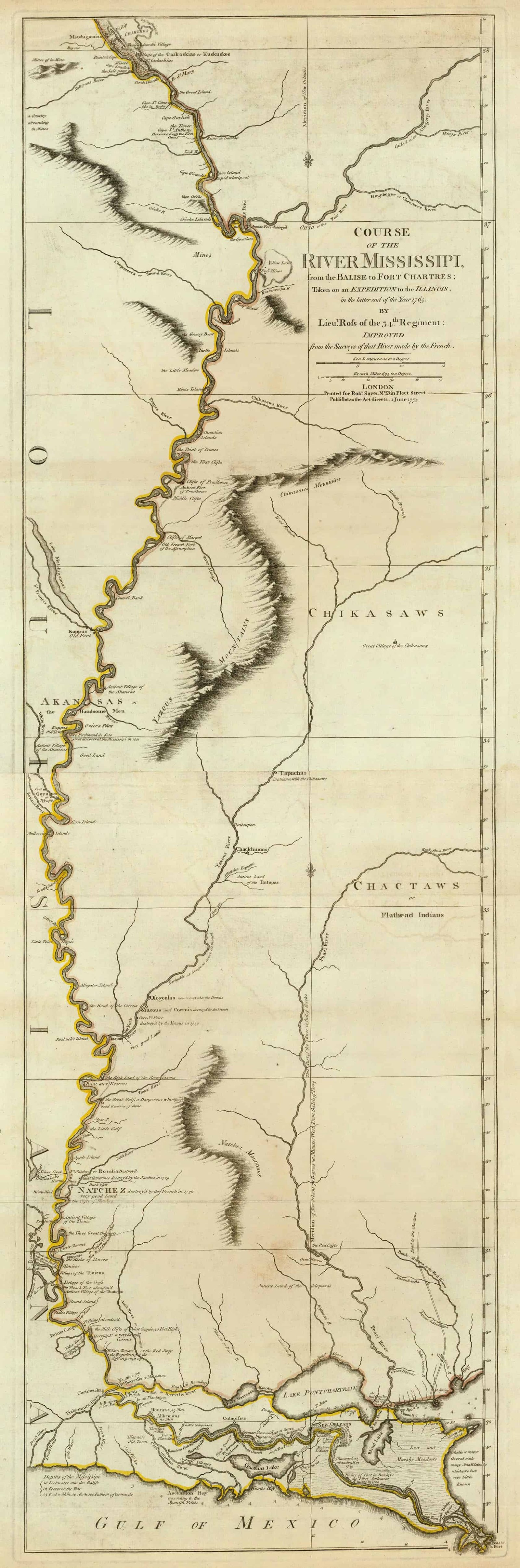
Maps of Pennsylvania are a great resource to help learn about a place at a particular point in time. Old Pennsylvania maps are effective sources of geographical information and useful for historical, genealogical and territorial research.
Our collection of Pennsylvania maps includes many different historic and modern types of maps. The maps date from the 17th century to the present and include:

- Pennsylvania Township maps, including maps showing the progress of the original government surveys
- Pennsylvania Road, Highway and railroad maps
- Pennsylvania Maps showing the state’s geological features
- Pennsylvania Nautical charts
- Pennsylvania timeline of county boundaries changes
- Pennsylvania Military maps
- Pennsylvania Maps of specific towns, counties, islands, harbors, and bodies of water
- Colonial era maps of Pennsylvania
- Bird’s eye views of Pennsylvania cities and towns
Historical Maps of Pennsylvania are a great resource to help learn about a place at a particular point in time. Pennsylvania Maps are vital historical evidence but must be interpreted cautiously and carefully.
Most of the courthouses in Pennsylvania can supply maps of county roads. Manuscript collections, county histories, and county atlases also contain older Pennsylvania maps. Some of those collections can be found in the following locations: Historical Society of Pennsylvania, Pennsylvania State Library, Free Library of Pennsylvania, Carnegie Library at Pittsburgh, Pennsylvania State Archives.
City directories sometimes contain maps of those cities. The Pennsylvania Historical and Museum Commission also has a useful map available to researchers. That map shows how the counties developed in the Commonwealth.
Warrantee maps from 24 Pennsylvania counties are available at the Pennsylvania State Archives, and copies can also be found in each county recorder of deeds office, as well as at the Pennsylvania State Library.
Old Historical Atlas Maps of Pennsylvania
This Historical Pennsylvania Map Collection are from original copies. Most historical maps of Pennsylvania were published in atlases and spans over 350 years of growth for the state.
Some Pennsylvania maps years have cities, railroads, P.O. locations, township outlines, and other features useful to the Pennsylvania researcher.


Map of Pennsylvania County Formations 1673-1878
This Interactive Map of Pennsylvania Counties show the historical boundaries, names, organization, and attachments of every county, extinct county and unsuccessful county proposal from the creation of the Pennsylvania territory in 1673 to 1878.
Pennsylvania County Maps of Road and Highway’s
The Pennsylvania D.O.T. Highway Department has prepared a series of 2016 county road maps. These maps contain more detailed information about man-made features than the geological survey maps.
In addition to roads and boundaries, these maps include rural communities, churches, and cemeteries. These Pennsylvania maps are Free to downloade are in PDF format.
External Pennsylvania Map Resources
- Old Historical Maps of Pennsylvania (alabamamaps.ua.edu)
- Pennsylvania Maps, Atlases & Gazetteers (ancestry.com)
- U.S., Indexed County Land Ownership Maps, 1860-1918 (ancestry.com)
- Library of Congress Pennsylvania Map Collections (loc.gov)
- Old Maps of Pennsylvania (old-maps.com)
- Pennsylvania Antique Maps and Historical Atlases (historicmapworks.com)
- Historical Pennsylvania State Maps (mapsofthepast.com)
- Antique Maps of Pennsylvania (raremaps.com)
- Pennsylvania Map Books (amazon.com)